
Surveying Services

Our site surveying services provide the accurate, dependable data needed to make informed decisions from day one. By capturing existing conditions in detail and identifying potential constraints early, we remove uncertainty, reduce risk, and give project teams the confidence to design and plan against reality - not assumptions.
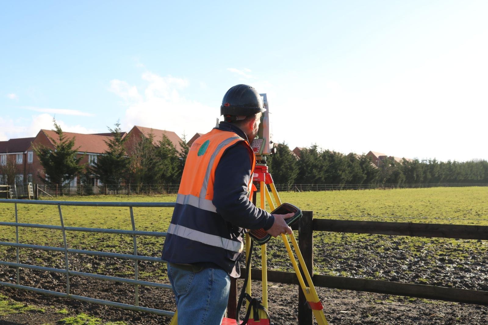
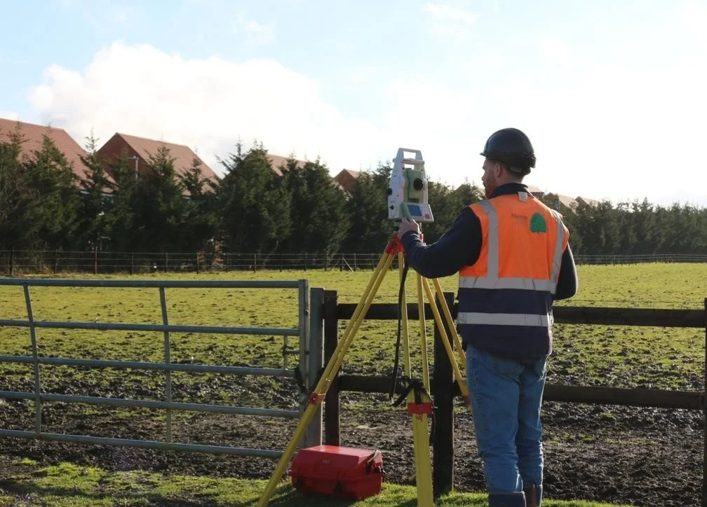
Topographical
Topographical Surveys capture the physical features of a site in detail, including levels, boundaries, buildings, access routes, hardstanding, vegetation and key surface features.
Using modern survey equipment, we produce accurate drawings and digital outputs that support planning, feasibility and early-stage design coordination.
This ensures project teams can design with confidence, based on verified ground conditions rather than assumptions meaning a much higher chance of the survey being relevant to the build process. This survey is most beneficial when completed at pre-planning stage; allowing architects to accurately design your scheme and go into planning with confidence.
Drainage surveys identify and verify the layout, condition, and connectivity of existing foul and surface water systems.
Using techniques such as CCTV inspection, tracing and mapping. We provide clear records of drainage routes, defects and capacity constraints.
This is critical for development planning, connection design and avoiding unexpected issues during enabling works and construction. This survey is most beneficial when completed at pre-planning stage; allowing drainage design that considers existing connection on site and may prevent future design changes.
Drainage
Services Tracing and PAS 128
PAS 128 surveys locate and map underground utilities to an industry recognised standard.
Using a combination of desktop research, site reconnaissance, geophysical scanning and on‑site verification, we accurately locate and confirm the position of buried services.
This is essential in reducing the risk of service strike as well as improving excavation planning. This survey is most beneficial when completed at pre-planning stage; enabling early awareness of constraints caused by existing services and new incoming services to be factored in to design.
Tree Identification
Recording the species, size, location and condition of trees within and adjacent to a site.
This information primarily supports foundation design to ensure this is fit for purpose but can also help with planning submissions, arboricultural reporting and development proposals where trees may be protected or require design consideration.
Accurate tree identification can also help with managing environmental constraints, reducing delays and ensuring proposals remain compliant and deliverable.
Providing accurate dimensional information of existing buildings, including floor plans, elevations, sections and key structural features. This service is essential for refurbishment, extension, or redevelopment projects, where reliable “as-built” information is critical. By capturing buildings as they truly exist, we reduce design risk, avoid discrepancies, and support smoother coordination across all disciplines.
Measured Building
Building Condition
Assessing the overall condition of a property, identifying visible defects, deterioration and areas of concern across structural and fabric elements. Surveys are presented in a clear, practical format to support acquisition, refurbishment planning, maintenance strategies, and lifecycle cost forecasting. Early identification of issues helps clients manage risk, prioritise remedial works and make informed commercial decisions.
Providing practical site based information to support Party Wall agreements. This includes condition inspections, schedules of condition. Our assistance reduces the risk of disputes, can help acquire official documentation, and supports projects progressing in a controlled and legally compliant manner.
Party Wall
GPR surveys use non-invasive radar to detect buried services and subsurface features, improving safety and reducing uncertainty before excavation.
Ground Penetration Radar
UXO surveys assess the risk of unexploded ordnance, using desk studies and further surveys where required to protect safety and reduce delays before groundworks.
Unexploded Ordnance
Get in touch